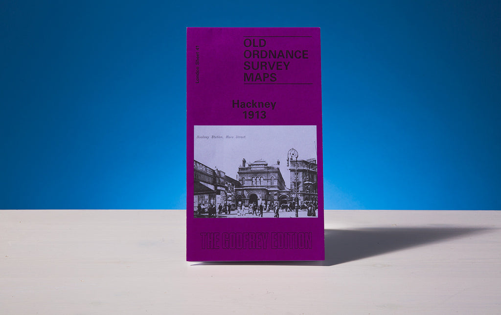
Hackney 1913, Ordnance Survey Map
£3.00
The map covers an area stretching from Mare Street eastward to White Post Lane, and from Tresham Avenue and Ashenden Road southward to Victoria Park Road. Features include much of Victoria Park, Hackney Cut Navigation, Hertford Union Canal, Hackney Common, Well Street, Wick Road, Hackney Wick, South Hackney, Homerton; Victoria Park, Homerton and Hackney stations; City of London Union Workhouse (later Institution), Hackney Workhouse, Eastern Fever Hospital, chemical works and factories at the east edge of map, St Thomas's Square, St John of Jerusalem church, St John's church, French Hospital, site of Rowe Chapel, Town Hall, Old Town Hall. The 1870 map is especially attractive, notably portraying South Hackney with its leafy gardens.
They are three versions of this map, showing how the area developed across the years. Indeed, the idea of reprinting the three editions of each map over much of London came from Hackney Archives, and from their then archivist David Mander. Also available in 1870 and 1893. The maps each cover the same area,
Folded: 21 x 12cm
Unfolded: 42 x 60cm
Share this item: